
Multnomah Falls is the tallest waterfall in Oregon and the second tallest year-round waterfall in the US. You can admire the falls from the base with just a short hike from the parking lot.

Expect crowds in the summer! There was a tour bus when I went and it was packed! You also have the opportunity to travel up the trail to the top of the falls. This is another mile to the top, so 2 mile round-trip back to the base of the falls. This small one mile hike is pretty strenuous. It basically just goes right up the falls.

When you are at the top, you do not have a fantastic view of the falls dropping below so if you are not a huge hiker, or just don’t feel like it, you are not missing much.

At the top of the falls, right before the water drops!
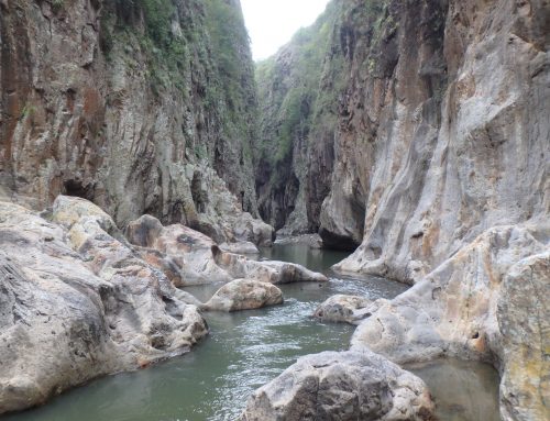
The biggest thing you are missing in my eyes at the top, is you have a view of the river and what the river looks like before it drops down 542 feet.
Other than that, you get your best photos from the base of the falls.

There is also an opportunity for a loop hike. It’s a 5.4 mile hike Wahkeena Falls with 1,600 feet in elevation gain.
If you want to check out their site, its right here…. http://www.oregon.com/recreation/multnomah-falls
Directions: Driving there is really easy. You can simply put it into Google Maps. It’s right off of Interstate 84, exit 31 and is East of Portland. It is in the Mt. Hood/Columbia Gorge Region.
If you want to do more hikes in the Columbia River Gorge, you can get a map here.
Hope you enjoyed this article and thanks for reading!
Sincerely,
Shelly/Livingonthedirt


Leave A Comment