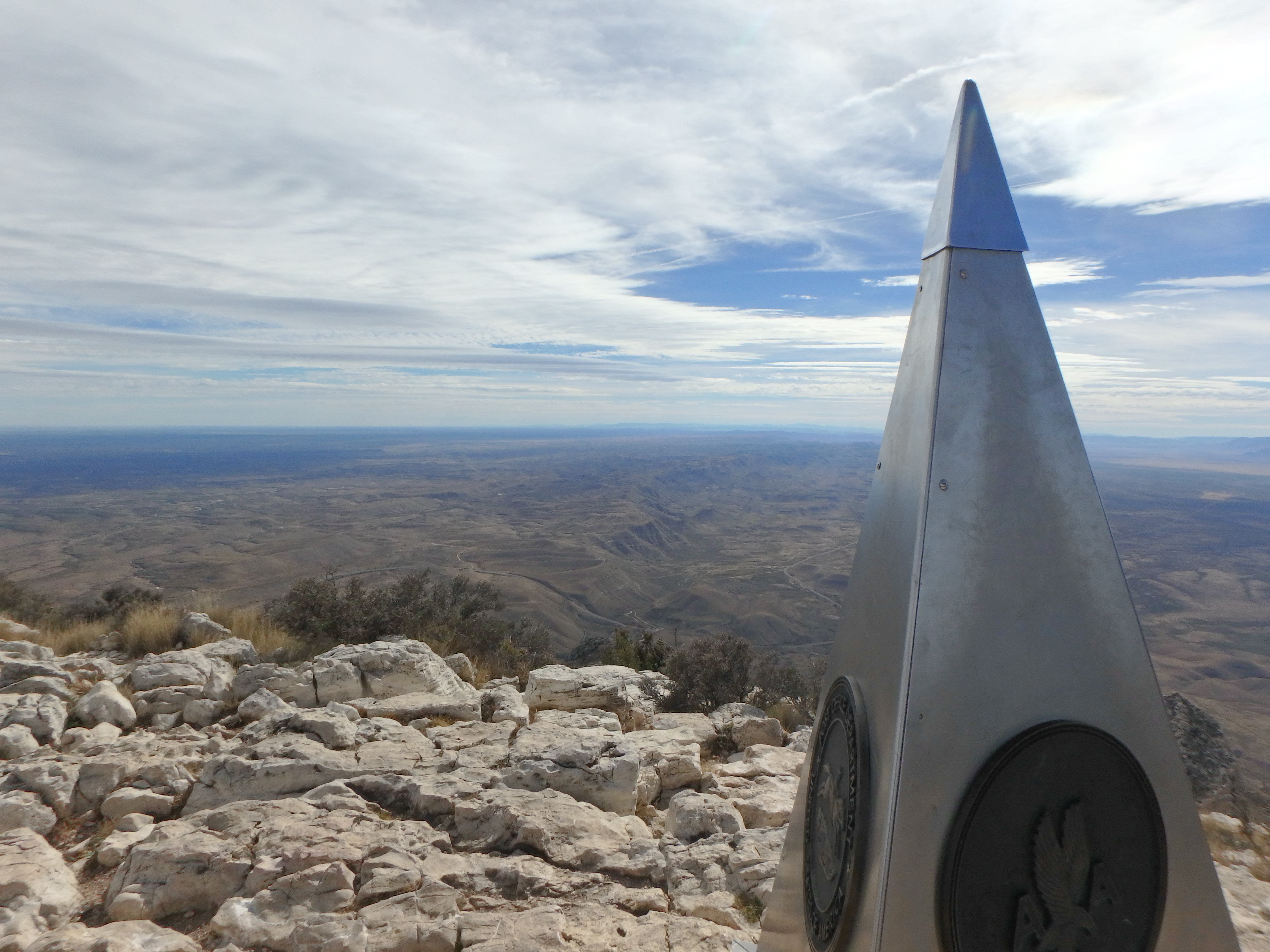
Guadalupe Peak is located just south of the New Mexico border, in Guadalupe Mountains National Park. This is the highest point in the state of Texas reaching 8,749 feet. Guadalupe Peak trail is an out and back trail that is 8.4 miles round-trip. It is a difficult hike because in 4.2 miles, you gain 3,000 feet of elevation.
The trail starts at Pine Springs Campground and is only a half-mile from the visitor center. You have to pay for a “recreational fee” to hike this trail and you can self-register right at the trail-head. You also have the option to go backpacking and camp just one mile away from the peak. I think it is really pretty up here so this hike is definitly worth doing as a day hike or a backpacking trip.

The steepest parts of the trail are the first mile and the last mile, but the entire trail is a pretty steady climb. After you see the backcountry campsite and the wooden bridge, you have your last climb to the summit and there is a monument at the top to mark your acomplishment.
It is not uncommon for the top of the mountain to have wind gusts of up to 70mph. It is highly advisable to check with the visitor center for the latest mountain forecasts or you can do what we did and check mountainforecast.net. It’s a reliable source that will tell you a whole bunch of information for the tops of the mountains; weather, snow, wind, etc. We all know the weather at the base of the mountain and at the top are completely different.
I hope this helped and thanks for reading!
Sincerely,
Livingonthedirt/Shelly


Leave A Comment